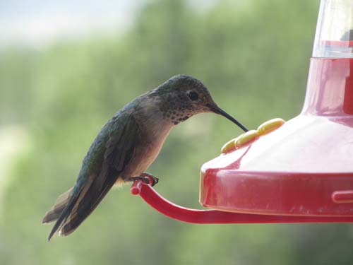
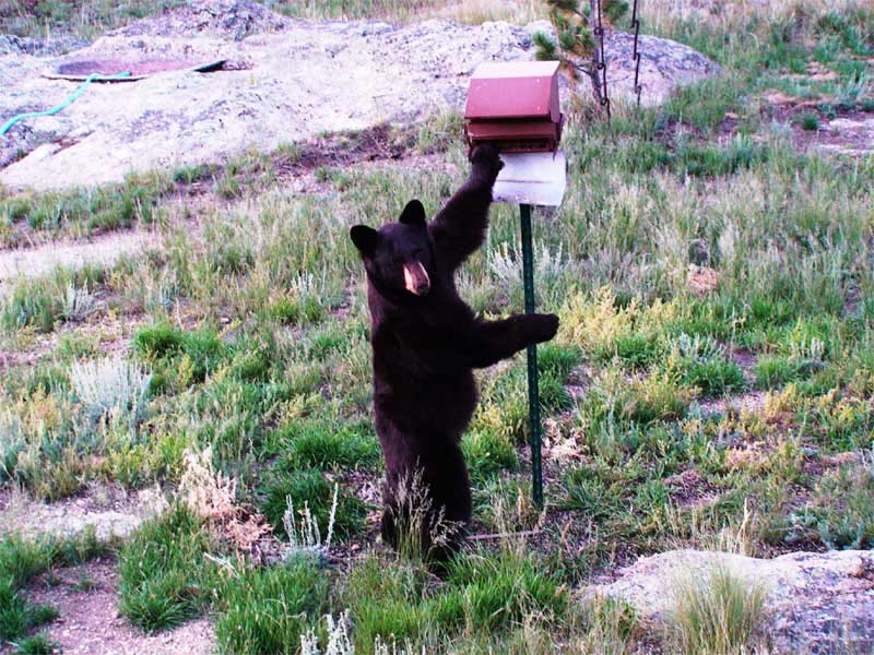
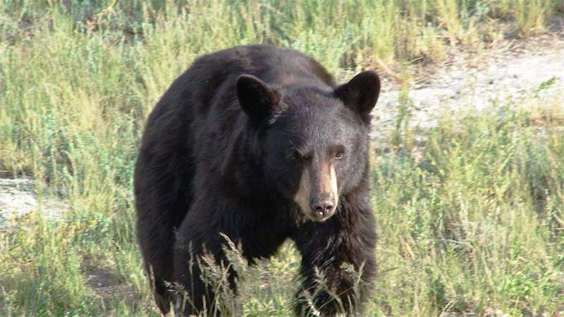
History and description of your mountain developmentThe Wildwood Board of Directors and your new neighbors welcome you to our community. Wildwood Recreational Village was planned, developed and constructed in the late 1970’s and early 1980’s in four separate filings in Park County, Colorado. Located in the South Park Area, 10 miles NE of Hartsel, 26 miles from Fairplay; it encompasses over 3500 acres, ranging from low lying hills and valleys covered with thick aspen and pine, to open rolling plains. The east is bordered by the beautiful Pike National Forest, with Tarryall Reservoir about 12 miles to the north and the South Platte River, Elevenmile Canyon, Spinney Mountain and Antero Reservoirs 15 to 20 miles to the south that boast some of the best fishing in the world. With the high Rocky Mountains in the distance on the west and northwest, the Platt River, Kenosha Pass and Tarryall Mountains on the northeast and east, Puma Hills on the southeast, breathtaking panoramic views can be seen.
The Developer created and filed into public record a Declaration of Protective Covenants and Bylaws for the Wildwood subdivision to protect the owners of the 467 lots and to maintain the wild outdoor beauty of our development. According to these documents, owners automatically become voting members of the Wildwood Recreational Village Owners Association, as long as they remain in good standing. The lots are 2 to 40 acres with owners all over the USA and overseas. The Association was created by the Developer on January 28th, 1984, where the first Board of eleven Directors was elected by a meeting of the members. The first organizational meeting followed, to elect the four Officers of the Board. Since that date, annual meetings have been held for the primary purpose of election of new Directors to fill open positions on the Board. Each Director is an unpaid volunteer, elected to a term of two years. Officers are elected annually to the Board for a one year term.
In general, the Owners Association is administered by its elected Board in accordance with the Association Bylaws and Covenants. The Board has the responsibility to maintain water rights for the subdivision so that any Owner may drill a well on an individual property by simply obtaining a permit from the State, to establish reasonable rules and regulations, review and approve proposed building plans, maintain accurate books and records and contract for outside services as required. Association Bylaws and Covenants may be found on this web site. Specifically, the Board has the duty of establishing and collecting annual dues and/or special assessments needed for maintenance, repair, replacement or improvement of the recreation area, as well maintaining the caretaker residence. Legal action, including but not limited to the filing of property liens may be taken by the Association to collect past due annual dues and/or assessments. The area of responsibility comprises 172 total acres, including the main recreation area of 44.5 acres, known as the common area or lot 216, filing 1. The main facility has a spring fed reservoir stocked with trout, the caretaker’s residence with community restrooms and a soft water supply for RV’s, a picnic pavilion with propane grill, a firehouse, a security fenced vehicle storage compound, horseshoe pits, a waste dump station and 12 RV camping pads with electrical hook-ups. The subdivision roads are maintained from the tax base by the County. Individually owned lots are maintained by the Owners. Security patrol of all properties is provided by the Association.
|